


Garmin Mapa 010-C0710-00 BLUECHART G2 VUS009R-Jacksonville t - 010-C0710-00
Pagamento em prestações
- Primeira prestação a pagar hoje120,08€
- a 18/05/2024120,07€
- a 17/06/2024120,07€
- a 17/07/2024120,07€
Destaques


Garmin VUS009R G3 Vision Jacksonville To Key West - GAR010C071000
Pagamento em prestações
- Primeira prestação a pagar hoje120,08€
- a 18/05/2024120,07€
- a 17/06/2024120,07€
- a 17/07/2024120,07€
Todas as Ofertas (1)
Garmin VUS009R G3 Vision Jacksonville To Key West - GAR010C071000
Pagamento em prestações
- Primeira prestação a pagar hoje120,08€
- a 18/05/2024120,07€
- a 17/06/2024120,07€
- a 17/07/2024120,07€
Detalhes do Produto
$200 Cash Back w/Qualifying Purchases UNTIL 07/07/2019 VIEW
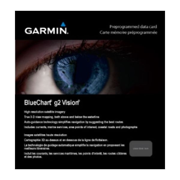
BlueChart® g3 Vision® HD - VUS009R - Jacksonville - Key West - microSD™/SD™
Coverage:
Featuring data from the Explorer Charts of the Bahamas. Darien, GA to Key West, FL including the entire St. John\'s River, the St. Lucie Canal, Lake Okeechobee, with coverage over to Ft. Myers. Also includes detailed coverage of Bimini, the Abacos and Grand Bahama Island.
Premier Coastal Navigation Charts
- Provides industry-leading coverage, clarity and detail with updated coastal charts that feature integrated Garmin and Navionics® data
- Auto Guidance¹ technology uses your desired depth and overhead clearance to calculate routes and show a suggested path to follow
- High-resolution relief shading combines color and shadow to give you an easy-to-interpret, clearer view of bottom structure than contour lines alone
- Depth Range Shading provides up to 10 depth ranges, enabling you to view your target depth at a glance
- Up to 1’ contours provide a more accurate depiction of the bottom structure for improved fishing charts and navigation in swamps, canals and marinas
Experience unparalleled coverage and brilliant detail on the water. BlueChart g3 Vision coastal charts provide industry-leading coverage, clarity and detail with integrated Garmin and Navionics data, Auto Guidance technology and high-resolution relief shading..
Auto Guidance Technology
The Auto Guidance feature¹ uses your desired depth and overhead clearance to calculate a route and a suggested path to follow.
High-resolution Relief Shading Feature
High-resolution relief shading combines color and shadow to give you an easy-to-interpret, clearer view of bottom structure than contour lines alone.
Up to 1’ Contours
The closer the contour lines, the more accurate the depiction of the bottom structure for improved fishing charts and navigation in swamps, canals and marinas.
NOAA Raster Cartography
If you prefer your display to have the look of paper charts, NOAA raster cartography2 is available as a free downloadable feature via the ActiveCaptain® app.
Depth Range Shading
This feature provides up to 10 depth ranges, enabling you to view your target depth at a glance.
Shallow Water Shading
This feature allows you to use shading to designate the shallow water depths you need to avoid.
High-resolution Satellite Imagery
These detailed images of ports, marinas, bridges and navigational landmarks help provide you with superior situational awareness.
Unique 3-D Views
MarinerEye and FishEye views provide additional perspective both above and below the water line.
¹Auto Guidance is for planning purposes only and does not replace safe navigation operations
²Raster cartography cannot be viewed on echoMAP CHIRP and ECHOMAP Plus combos but can be viewed on mobile devices via the ActiveCaptain mobile app
WARNING: This product can expose you to chemicals which are known to the State of California to cause cancer, birth defects or other reproductive harm. For more information go to P65Warnings.ca.gov.
Specifications:
- Card Format: MicroSD/SD
- Port Plans: Yes
- Aerial Photos: Yes
- 3-D View: Yes
- Box Dimensions: 0\"H x 5\"W x 5\"L WT: 0.1 lbs
- UPC: 753759068905
Owner\'s Manual (pdf)
Características
Requisitos do sistema
- Requisitos de resolução mínima1024 x 768 pixels
- USB necessário
- Ligação à Internet necessária
- Espaço mínimo do disco rígido1,1 GB
- Memória RAM mínima1024 MB
Características
- Número de utilizadores1 utilizador(es)
- FormatoMicroSD/SD
- Localização da regiãoAmérica do Norte
- Detalhes de coberturaJacksonville - Key West
- TipologiaMapa da água
- CompatibilidadeGarmin
- ModeloechoMAP™ 43dv echoMAP™ 44dv echoMAP™ 50dv echoMAP™ 50s echoMAP™ 53dv echoMAP™ 54dv echoMAP™ 70dv echoMAP™ 70s echoMAP™ 73dv echoMAP™ 73sv echoMAP™ 74dv echoMAP™ 74sv echoMAP™ 93sv echoMAP™ 94sv echoMAP™ CHIRP 42dv echoMAP™ CHIRP 43dv echoMAP™ CHIRP 44dv echoMAP™ CHIRP 45dv echoMAP™ CHIRP 52dv echoMAP™ CHIRP 53dv echoMAP™ CHIRP 54dv echoMAP™ CHIRP 55dv echoMAP™ CHIRP 72dv echoMAP™ CHIRP 72sv echoMAP™ CHIRP 73dv echoMAP™ CHIRP 73sv echoMAP™ CHIRP 74dv echoMAP™ CHIRP 74sv echoMAP™ CHIRP 75dv echoMAP™ CHIRP 75sv echoMAP™ CHIRP 92sv echoMAP™ CHIRP 93sv echoMAP™ CHIRP 94sv echoMAP™ CHIRP 95sv GPSMAP® 1020xs GPSMAP® 1040xs GPSMAP® 4008 GPSMAP® 4010 GPSMAP® 4012 GPSMAP® 420/420s GPSMAP® 4208 GPSMAP® 421 GPSMAP® 4210 GPSMAP® 4212 GPSMAP® 421s GPSMAP® 430/430s GPSMAP® 431 GPSMAP® 431s GPSMAP® 440/440s GPSMAP® 441 GPSMAP® 441s GPSMAP® 5008 GPSMAP® 5012 GPSMAP® 5015 GPSMAP® 520/520s GPSMAP® 5208 GPSMAP® 521 GPSMAP® 5212 GPSMAP® 5215 GPSMAP® 521s GPSMAP® 525/525s GPSMAP® 526 GPSMAP® 526s GPSMAP® 527xs GPSMAP® 530/530s GPSMAP® 531 GPSMAP® 531s GPSMAP® 535/535s GPSMAP® 536 GPSMAP® 536s GPSMAP® 540/540s GPSMAP® 541 GPSMAP® 541s GPSMAP® 545/545s GPSMAP® 546 GPSMAP® 546s GPSMAP® 547 GPSMAP® 547xs GPSMAP® 6208 GPSMAP® 6212 GPSMAP® 640 GPSMAP® 720 GPSMAP® 720s GPSMAP® 7212 GPSMAP® 7215 GPSMAP® 740 GPSMAP® 7407xsv GPSMAP® 7408xsv GPSMAP® 740s GPSMAP® 741 GPSMAP® 7410xsv GPSMAP® 7412xsv GPSMAP® 741xs GPSMAP® 7607 GPSMAP® 7607xsv GPSMAP® 7608 GPSMAP® 7608xsv GPSMAP® 7610 GPSMAP® 7610xsv GPSMAP® 7612 GPSMAP® 7612xsv GPSMAP® 7616 GPSMAP® 7616xsv GPSMAP® 8208 MFD GPSMAP® 8212 MFD GPSMAP® 8215 MFD GPSMAP® 840xs GPSMAP® 8500 Black Box GPSMAP® 8530 Black Box Monterra® Volvo Penta Glass Cockpit System